Reef Check Australia
Hard and Soft Coral Cover
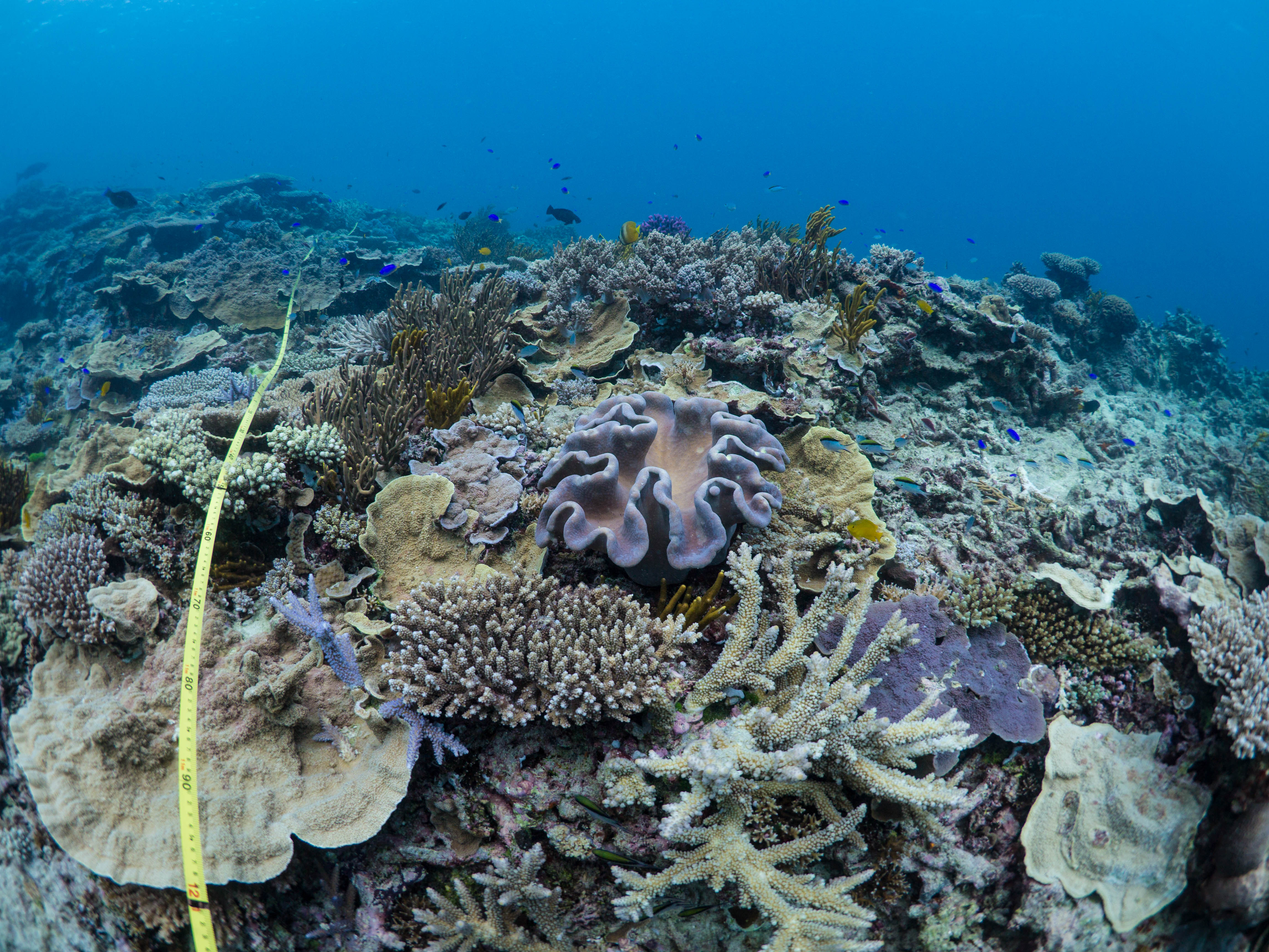
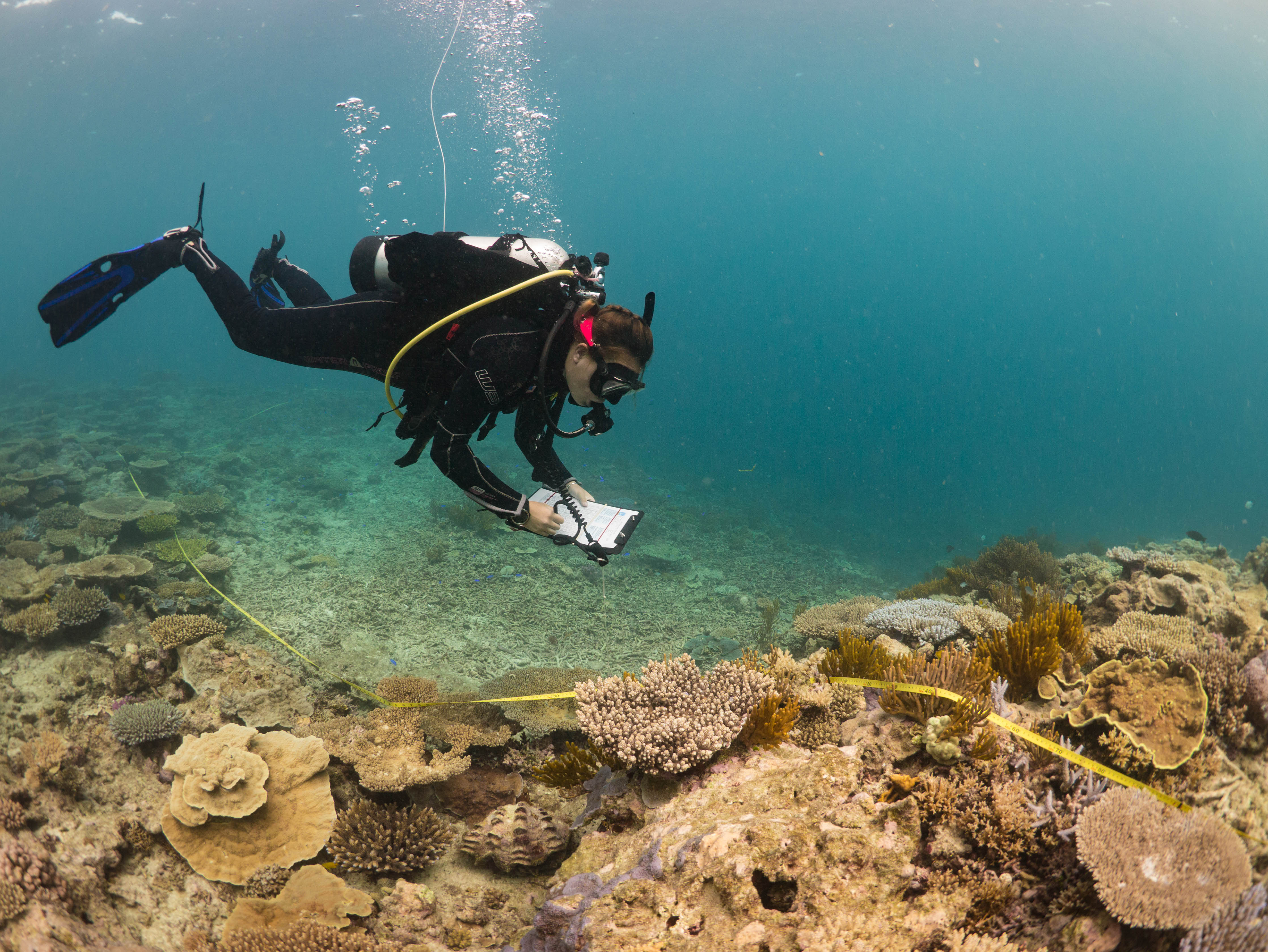
The visualisation shows average live coral cover data (hard and soft coral) collected by trained Reef Check Australia (RCA) volunteers. Percent cover of hard and soft coral has been averaged across monitoring sites for each year and scored using Reef Plan Reporting standardised scales. Note that limitations in survey locations has resulted in the decline depicted for 2012. Live coral cover is one of five coral indicators utilised in the assessment of marine condition for the Reef Plan Marine Monitoring Progam. The thresholds used for assessment of live coral cover are based on the inshore coral reef monitoring program, which is the only available assessment framework currently available.
Since 2011, RCA has been monitoring reef health at multiple sites on Heron Island using the globally-standardised reef health surveys. Heron Island is a coral cay located on the southern section of the Great Barrier Reef (GBR), approximately 80km off the coast of Gladstone, Queensland. The reef falls within the Fitzroy Marine Zone. This data collection forms part of a larger collaborative reef research and mapping initiative led by The University of Queensland’s Remote Sensing Research Centre. Additional information can be found in the 2017 Heron Island Reef Health Report. The RCA Heron Pilot Report Card Case Study Summary for June 2017 is also available for viewing.
This project is supported by donations, and proceeds from Lion's XXXX Charity Auction, as well as in-kind support from the Remote Sensing Research Centre and Heron Island Research Centre.


